Rushford Voting District, Fillmore County, Minnesota
About
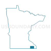
Outline

Summary
| Unique Area Identifier | 601965 |
| Name | Rushford Voting District |
| County | Fillmore County |
| State | Minnesota |
| Area (square miles) | 1.74 |
| Land Area (square miles) | 1.71 |
| Water Area (square miles) | 0.02 |
| % of Land Area | 98.64 |
| % of Water Area | 1.36 |
| Latitude of the Internal Point | 43.81343670 |
| Longtitude of the Internal Point | -91.75382780 |
Maps

Graphs
Select a template below for downloading or customizing gragh for Rushford Voting District, Fillmore County, Minnesota